Geographic Information Systems (GIS)
Geospatial processes to solve business challenges
Our dedicated team of GIS professionals, software engineers, and data scientists will help you better understand your information by creating a fabric of key business data and processes. Our tools help you predict, optimize, understand, and take action.

Geospatial Technologies
Dedicated to analyzing, modeling, and predicting outcomes
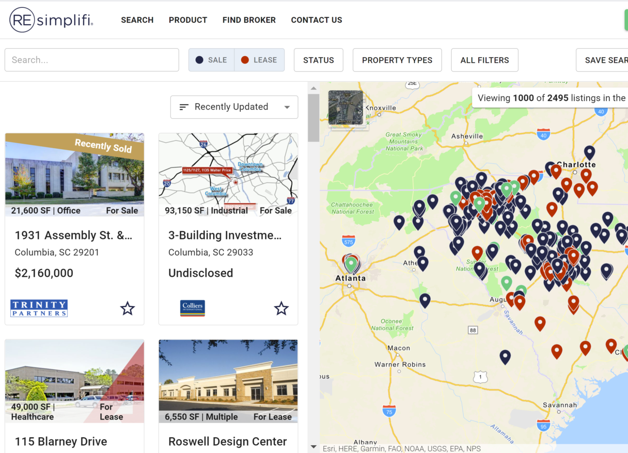
Integral GIS expertise will transform your location data by building powerful databases and applications that power the understanding of your business context. Geospatial Data includes any dataset that is generated by GIS, Remote Sensing (RS) and Global Positioning System (GPS) methods.

Geospatial Methods
GIS frameworks for understanding and solving business challenges
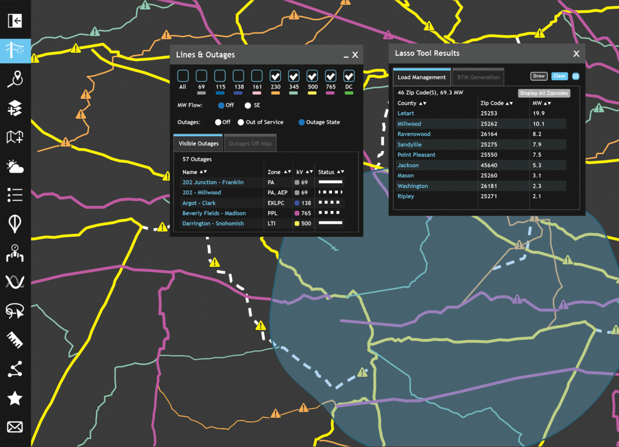
By developing patterns, relationships, and situational awareness utilizing GIS, we help decision makers solve business challenges using geographic data. These insights provide our clients with the capability to find understanding in previously unrelated information.
Map Centric Design
Beyond where you are, maps can predict where you are going
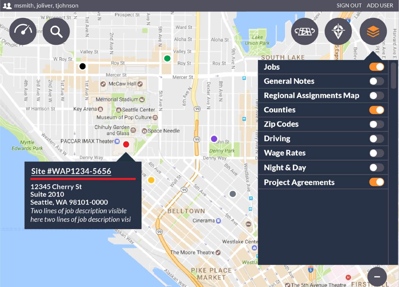
Our goal when creating any application is to provide clear analysis at your fingertips. Maps are more than geographic containers for data layers and analytics. They provide an intuitive and foundational interface for users to experience new perspectives and add clarity to their business environment. Maps enable you to explore your data, discover and interpret patterns and provide a platform for sharing and delivery.

Geodatabase Development
Accurate data to build upon
Geodatabases are scalable containers housing a collection of geographic datasets. They are designed to store, query, and manipulate spatial information. These spatial databases allow us to build on the existing capabilities of a relational database management system.

