Avalanche Reporting Tool
Northwest Avalanche Center
The Challenge
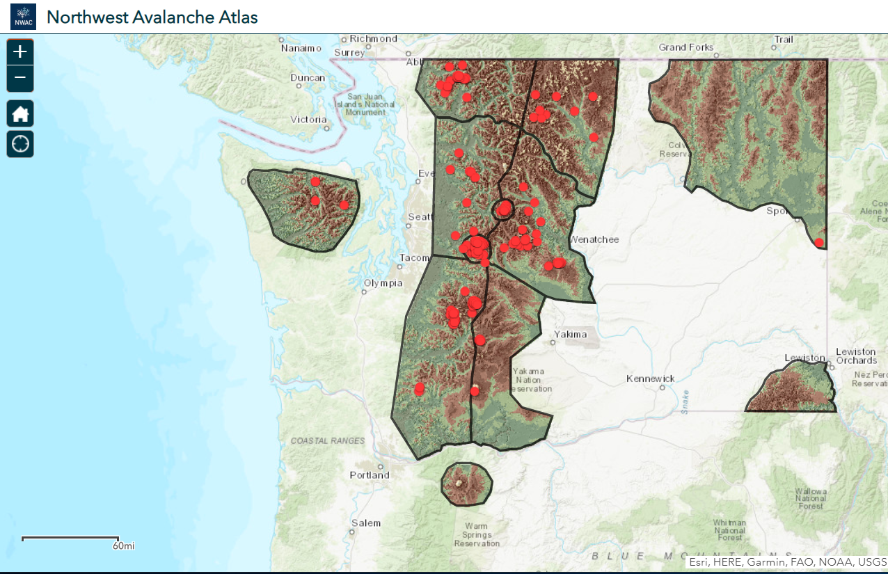
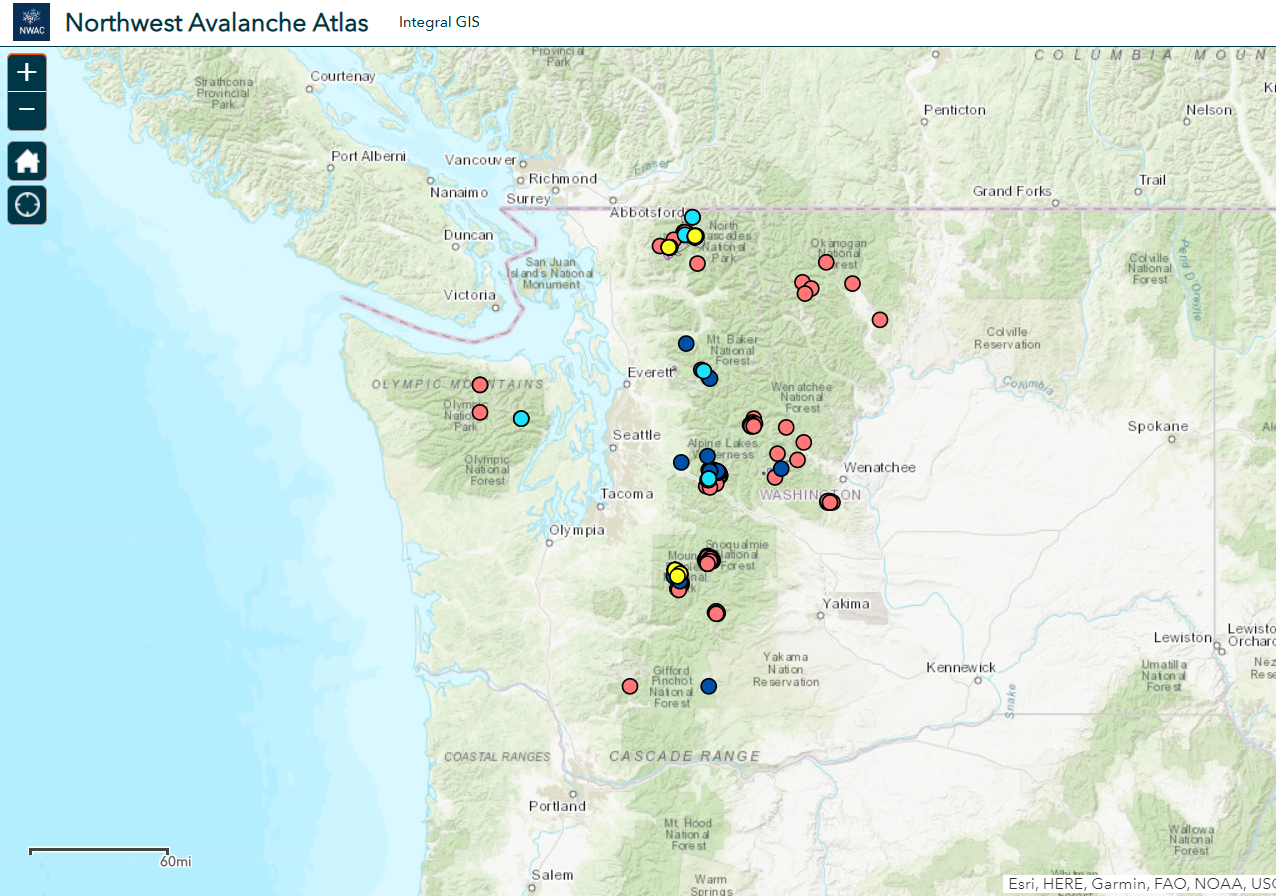
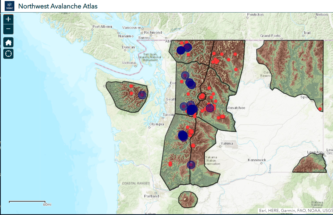
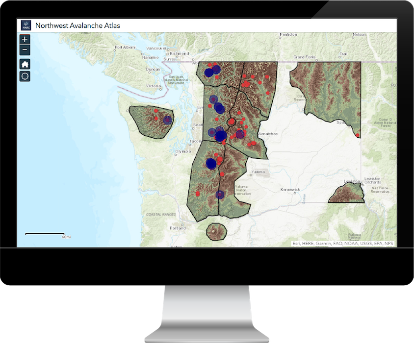
How can we view all the avalanche incidences and data collected over the past 60 years? B.C. Adventure Guides, along with NWAC, approached Integral GIS with a request to create a user-friendly interface for them to upload and visualize all the avalanche data they had compiled.
Our Insight
B.C. Adventure Guides and other field researchers have compiled avalanche report data spanning over four decades in spreadsheets and wanted a simple way to view their information on a map, with the ability to overlay various spatial and data layers.
Our Approach
We developed an ArcGIS Online Web App to view, search, and report avalanche data in the Pacific Northwest region.
Categories
- ArcGIS Online
- Community
- ESRI

